
St. Clairsville, Belmont County, Ohio
map provided by James Wiley, 1996
The Turk-Hardesty Family Cemetery is located in the grove of trees adjoining the east side of the backyard at 51000 Rehm Road (also know as Twp Rd 436). This is 1.1 miles off of Highway 40. The cemetery is overgrown with weeds and vines and is not being cared for at all. (Dave Osborne 1999)
We found the Turk Cemetery, had hunted for it last time we were there. It was in terrible shape, wish I had a weed cutter with me, briars were just awful. Two dogs & their houses are located just above the stones. I'd bet that part of the cemetery is located on the property where the dogs are. I was so excited about finding the cemetery, I forgot to ask the woman her name, who lives in the house where the cemetery is located. ... location is along Twp Road about 500 feet South of NW corner of Section 28. 20 acres, est. 1809 (Becky McPeak, May 1997) Note from Roger: This location is where the USGS places the TURK Cemetery. The HARDESTY Cemetery is near the middle of Section 23.
(right-click to save any of these photos to your computer)
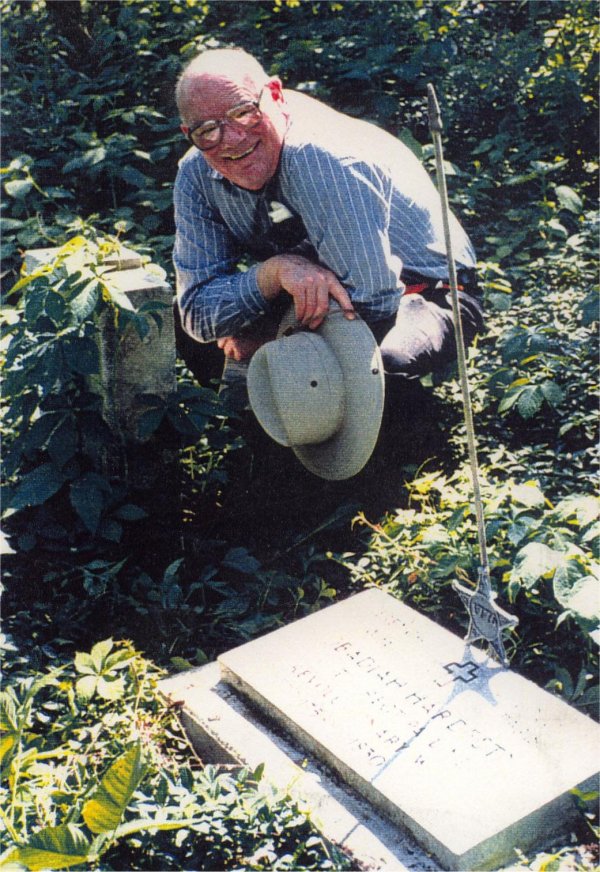
Harold Cozad at Obediah's marker in 1996
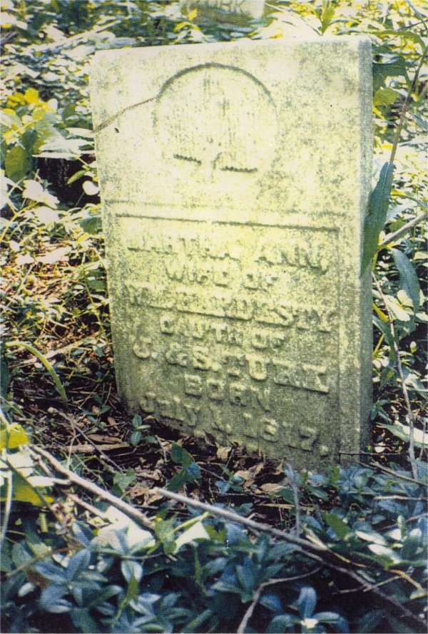
Martha Ann (Turk) Hardesty, wife of William Hardesty